Your Guide to the Greater Sebago Lakes Region

Your Guide Tothe Greater Sebago Lakes Region
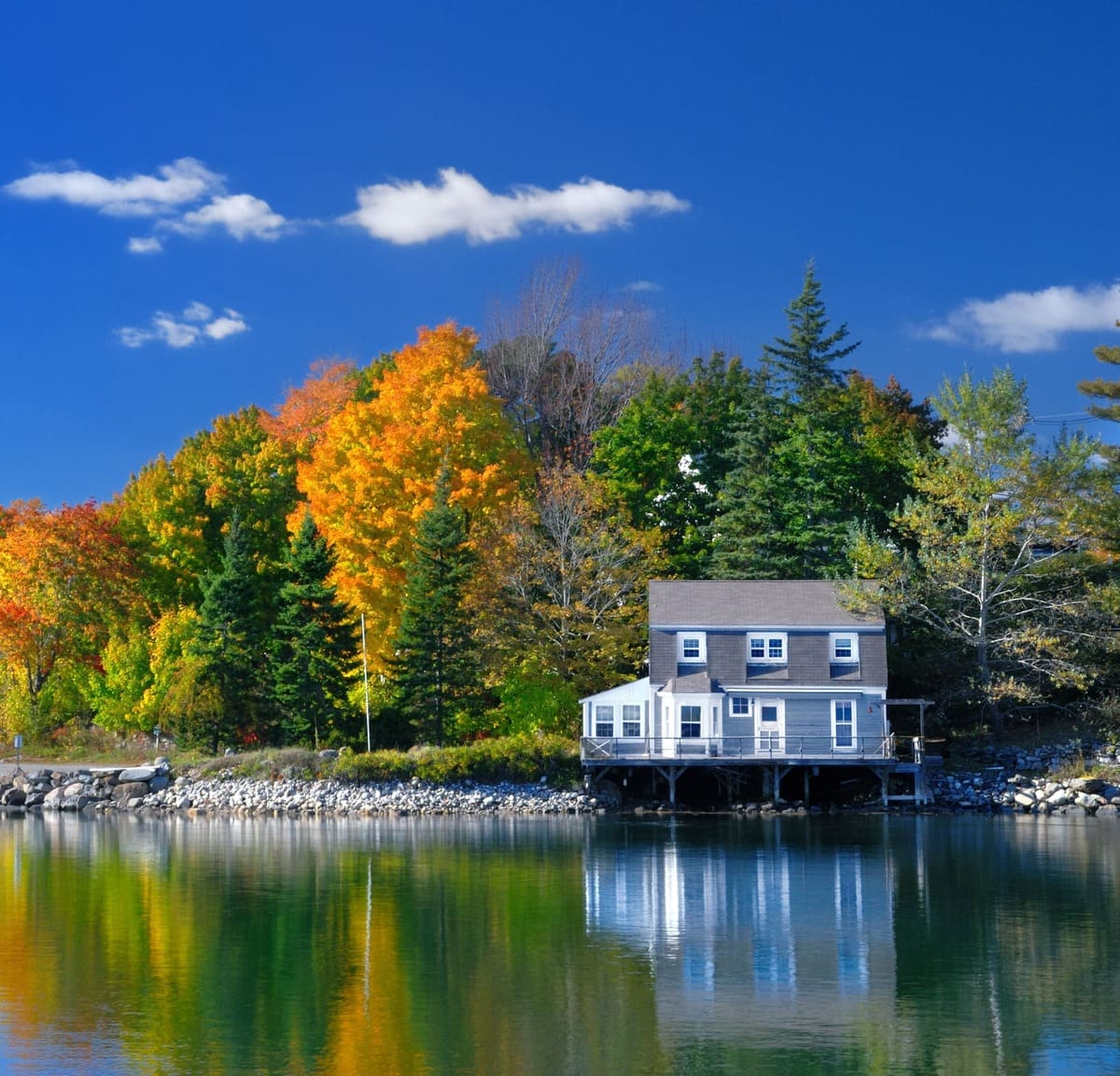
The Greater Sebago Lakes Region spans a broad stretch of western Maine, taking in dozens of lakes and ponds, small towns, and four seasons of outdoor access. This guide covers the waterways, dining options, local activities, and watercraft resources you will want to know about.
What Makes Sebago Lake the Center of the Region?
Sebago Lake is the largest body of water in the region and the second largest in Maine, covering nearly 30,000 acres across six towns: Casco, Naples, Raymond, Windham, Standish, and Sebago. At its deepest point the lake reaches 316 feet, and its borders stretch roughly 10 miles by 12 miles. Route 302 provides the primary access corridor, running approximately 35 miles around the lake's perimeter.
Because of its size, Sebago Lake can produce open-water conditions that are not suited to small watercraft like canoes, particularly in exposed sections. More sheltered areas — including Sebago Basin, Jordan Bay, and Kettle Cove — offer calmer water and are popular with boaters, waterskiers, and anglers. The lake is recognized as a productive fishery, particularly for landlocked salmon.
Water levels on Sebago Lake, Long Lake, and Brandy Pond are subject to seasonal variation, as Sebago sits at the center of a large aquifer and its level is actively managed. Beach size and shoreline conditions reflect current water levels throughout the season.
How Are Sebago Lake's Bays and Coves Different from Each Other?
Each section of Sebago Lake has its own character. Key areas to know:
Sebago Basin
A roughly 200-acre section in Windham and Standish, separated from the main lake by a channel near White's Point. Sits close to the Windham commercial corridor and is convenient to Route 302 and the Portland area.
Jordan Bay
The largest section of Sebago Lake, bounded by Raymond Cape to the west and Route 302 to the east. Its eastern shore includes Lakehurst, Bayview, and Deep Cove; its western shore (along Raymond Cape) includes Quarry, Whittemore, and Camp Coves. Frye Island lies approximately a quarter mile off the western shore of Raymond Cape.
Kettle Cove and the Dingley Islands
Located in Casco in the northeast section of the lake. The islands create a more sheltered environment suited to waterskiers and smaller craft, adjacent to Point Sebago campground.
Thompson Point
In Naples on the north shore, adjacent to Sebago Lake State Park. Its southward exposure down the full length of the lake means steady breezes and cooler conditions on hot summer days.
Sebago Harbor Shores
About 3.5 miles up Route 114 from the Naples Causeway. Connects to the main lake and provides good boating access. Most summers, boats up to 22 feet can pass under the Route 114 bridge without difficulty.
Songo Locks
Brandy Pond connects to Sebago Lake via the Songo River, with hand-turned locks at the junction of the Songo and Crooked Rivers. A small fee applies for boats passing through. The Songo River section between Brandy Pond and Sebago Lake is a particularly scenic stretch of waterway.
Sebago Lake State Park
Located on the north shore of Sebago, the park includes several large beaches, a campground (reservations required), and 1,300 acres of woodland with hiking and cycling paths.
What Other Lakes Are in the Sebago Lakes Region?
The region includes dozens of lakes and ponds across Cumberland, Oxford, and Androscoggin counties. Depth maps for all are available through Maine's MIDAS database via the Department of Inland Fisheries and Wildlife.
Long Lake
Stretches about 11 miles through Naples, Bridgton, and Harrison, covering 5,295 acres with a maximum depth of 59 feet. Connected to Brandy Pond and Sebago Lake, making it part of the roughly 40-mile navigable waterway through the Songo Locks. Marinas in Naples and Harrison serve the lake.
Brandy Pond (Bay of Naples)
The 740-acre connector between Long Lake and Sebago Lake, located south of the Naples Causeway via the Songo River. Maximum depth of 44 feet. Commercial marinas and a boat launch are located near the causeway. Trips on the Songo River Queen paddleboat, seaplane rides, and windsurfing are available from Naples during the summer season.
Panther Pond
Lies entirely within Raymond, covering 1,417 acres to a maximum depth of 68 feet. Connects to Crescent Lake via the Tenney River and accommodates multiple types of recreation and boating.
Crescent Lake
Located in Raymond and Casco, approximately 716 acres with a maximum depth of 54 feet. Less developed than many nearby lakes, with public boat access available for Raymond and Casco residents. Connects to Panther Pond.
Thompson Lake
In Casco, Oxford, Otisfield, and Poland, covering 4,419 acres at a maximum depth of 121 feet. At about 12 miles long and averaging 2 miles wide, it is one of the larger lakes in the extended region and has marinas in Casco, Otisfield, and Oxford.
Thomas Pond
Located in Casco and Raymond, just behind the Krainin Real Estate office on Route 302. Covers 533 acres to a depth of 64 feet. A quieter lake with minimal motorboat traffic, known for smallmouth bass — the state record catch in 1989 came from Thomas Pond.
Little Sebago Lake
Does not connect to Big Sebago. Located within Windham and Gray, covering about 2,009 acres and running approximately 5.5 miles end to end, with several islands and varying levels of development from section to section. Accessed via Route 85 in Raymond, Route 115 in Windham, and Routes 26 and 202 in Gray.
Additional Lakes and Ponds in the Region
The region also includes Peabody Pond (Bridgton, Naples, and Sebago), Hancock Pond (Denmark and Sebago), Highland Lake in both Bridgton and Windham, Keoka Lake (Waterford), Kezar Lake (North Lovell — 2,665 acres, max depth 155 feet, known for salmon and lake trout), Pleasant Lake (Casco and Otisfield), Moose Pond at the base of Shawnee Peak ski area in Bridgton, Coffee Pond in Casco (spring-fed, excellent fishing), and the Upper, Middle, and Lower Range Ponds in Poland. Maine's "ponds" are not necessarily smaller or shallower than "lakes" — the names were used interchangeably historically.
What Is Frye Island and How Do You Get There?
Frye Island is a private island community on Sebago Lake, located roughly a quarter mile off the western shore of Raymond Cape. The only way to reach it is by ferry.
Getting to the Ferry
From the Krainin Real Estate office on Route 302 in Raymond, head west approximately four-tenths of a mile, turn left onto Hawthorne Road, then left again at the stop sign. Follow Raymond Cape Road for 3.5 miles until it bends left, then continue one mile to the ferry landing on the right. If you pass Quarry Cove Road, you have gone too far. Slow down approaching the landing — there may be vehicles queuing and pedestrians nearby.
Ferry Pricing and Tickets
Round-trip vehicle passage is $40 at the landing. Krainin Real Estate sells discounted $30 tickets (up to five per rental stay). Boat trailer fees are charged separately. The ferry crew will direct you to your place on board when you arrive.
What to Expect on Frye Island
Frye's Leap Cafe, visible from the ferry as you approach the island, serves lunch and Sunday brunch on a waterfront patio, with takeout available throughout the season. Adjacent to the cafe, the Frye Island General Store carries grocery staples, pizza, sandwiches, beer, wine, ice cream, and sundries. The Frye Island Town Office is located above the store.
The island has a par-36, 9-hole golf course designed by Geoffrey Cornish, available for 9 or 18 holes with cart rentals. Additional amenities include two sets of double tennis courts, a swimming pool at Lancaster Loop, and 1,200-foot Long Beach at the south end of the island, suited to waterskiing. A marina behind Long Beach offers finger slips available for rent with cottage bookings. All town beaches on Frye Island are open to guests staying on the island.
Events and seasonal gatherings are held throughout the summer at the Community Center, and the golf club hosts several themed tournaments over the course of the season.
Where Can You Rent a Boat, Kayak, or Watercraft in the Sebago Lakes Region?
Boat and watercraft rentals are available throughout the region from multiple marinas and outfitters. Availability and seasonal hours vary — contact businesses directly to confirm current options.
Boat Rentals
- Goodhue Boat Company — Sebago Lake
- Sebago Lake Boat Rentals
- Causeway Marina — Naples
- Dingley's Wharf — Naples
- Gateway Marina — Harrison
- Keazer Lake Marina — Lovell
- Kettle Cove Marina — South Casco
- Long Beach Marina — Sebago
- Long Lake Marina — Naples
- Moose Landing Marina — Naples
- Naples Marina — Naples
- Port Harbor Marine — Raymond
- Sebago Lake Marina — Sebago
- Thompson Lake Marina — Casco
- White's Marina — Norway
Kayaks, Jet Skis, Paddleboards, and Accessories
- RAD Jet Ski Rentals — Naples
- Sports Haus — Bridgton
- Sebago Kayak Company — Naples
- Sebago Trails Paddling Company — Raymond
- Sun Sports+ Rentals — Naples
What Activities Are Available Near Sebago Lake?
On the Water
- Sebago Lake Cruises — guided boat tours
- SEBAGO Sport Fishing and Guide Service
Hiking and Nature
- Rattlesnake Mountain Hiking Trails — Raymond
- Douglas Mountain Hiking Trails — Sebago and Baldwin
- Hacker's Hill Nature Preserve — Casco (LELT)
- Maine Wildlife Park — Gray
Golf
- Point Sebago Golf Course — Casco
- Spring Meadows Golf Club — Gray
- Frye Island Golf Course (par-36, 9-hole) — accessible to Frye Island guests
Parks and Recreation
- Tassel Top Park — Raymond (Sebago Lake beach access)
- Steamboat Landing Mini Golf — Naples
- Seacoast Fun Park — Windham
Entertainment
- Smitty's Cinema — Windham
- Bridgton Twin Drive-In — Bridgton
Fishing licenses, regulations, and lake-by-lake fishing data are available through the Maine Department of Inland Fisheries and Wildlife.
Where to Eat and Drink in the Sebago Lakes Region
Dining options are spread across the towns of Raymond, Naples, Bridgton, Windham, Casco, and Sebago. Hours and seasonal availability vary — calling ahead is advisable, particularly earlier and later in the season.
Windham
- Bob's Seafood
-
Deck House Tavern
-
Kelley's Sebago Diner — breakfast
- Ice Cream Dugout
Raymond
Casco
- Top of the Hill Grille — breakfast
- Kindred Farms Market and Bakery
Naples
- Freedom Cafe and Pub
- Rick's Cafe
- Randy's Wooster Street Pizza
- Lakeside Dairy Bar
Bridgton
Sebago
- Sportsman's Kitchen and Keg
- Richard's Dairy Delight
Frye Island
- Frye's Leap Cafe — lunch and Sunday brunch, takeout available
- Frye Island General Store — grocery staples, pizza, sandwiches, sundries
Frequently Asked Questions About the Sebago Lakes Region
Sebago Lake reaches a maximum depth of 316 feet, making it one of the deepest lakes in Maine. Average depth varies significantly depending on the section of the lake.
The two lakes are entirely separate, with no direct connection. Little Sebago Lake lies within Windham and Gray, covering approximately 2,009 acres. Sebago Lake covers nearly 30,000 acres across six towns and is far larger.
Yes. Long Lake, Brandy Pond, and Sebago Lake are connected by the Songo River and Songo Locks, forming a roughly 40-mile navigable waterway. Boats pass through the hand-turned locks for a small fee. Sizeable boats navigate this route without difficulty; the Crooked River section is not accessible to larger craft.
Frye Island is accessible only by ferry from the Raymond Cape ferry landing, about 5 miles off Route 302. Round-trip vehicle passage is $40 at the landing. Discounted $30 tickets (up to five) are available through Krainin Real Estate.
Depth maps and fishing data for lakes throughout the region are available through the Maine Department of Inland Fisheries and Wildlife's MIDAS database, which includes updated GIS mapping and downloadable depth charts for individual lakes.
Sebago Lake is historically recognized for landlocked salmon. Thomas Pond in Raymond and Casco is noted for smallmouth bass. Coffee Pond in Casco is spring-fed and considered a productive fishery. Kezar Lake in North Lovell holds salmon, lake trout, and smallmouth bass. Fishing licenses and regulations are managed through Maine IFW.
Yes. Multiple marinas and outfitters in Naples, Raymond, Sebago, Casco, Harrison, and elsewhere rent motorboats, pontoons, kayaks, paddleboards, and jet skis throughout the summer season. Contact individual locations to confirm availability and current rates.